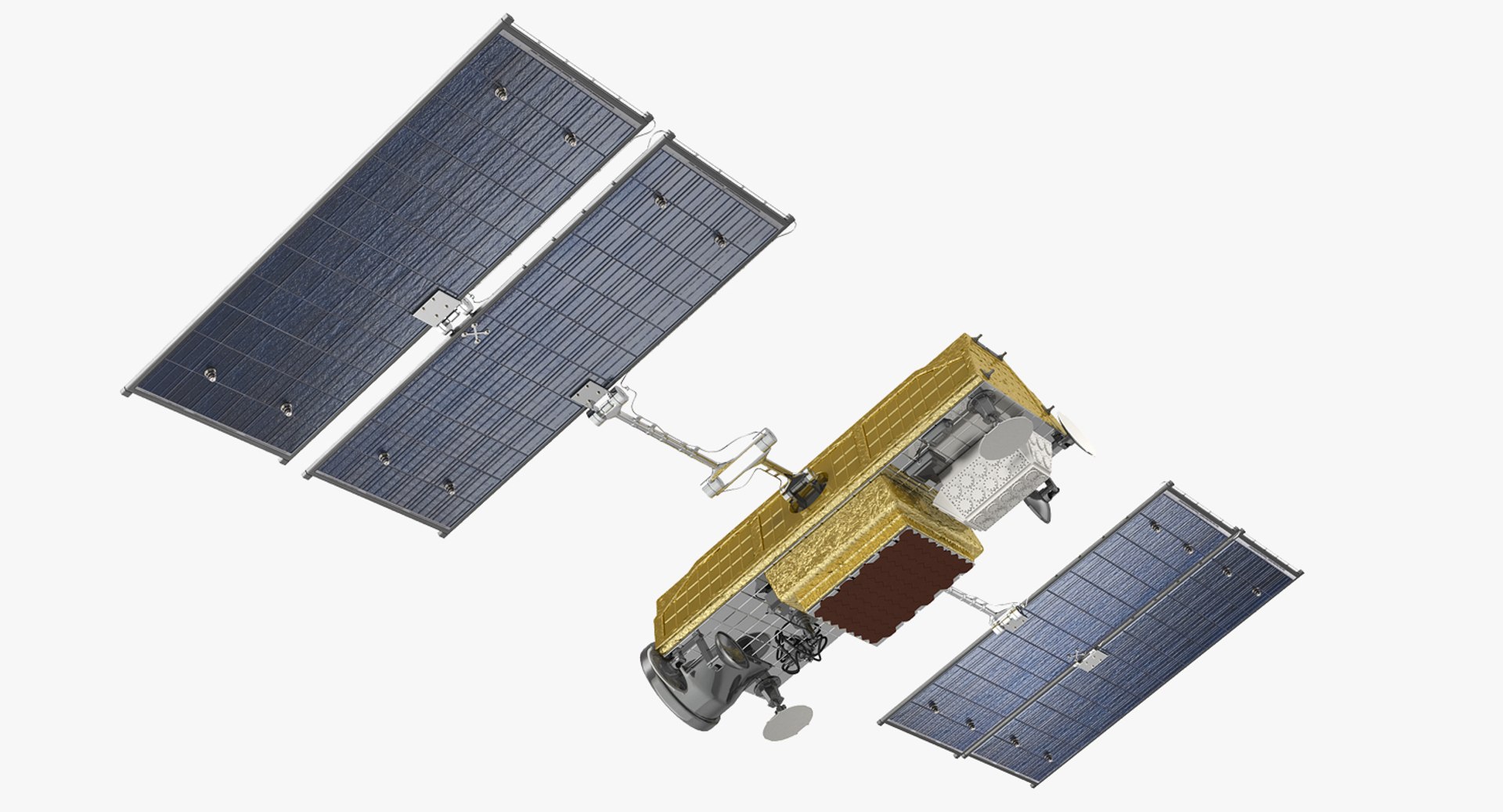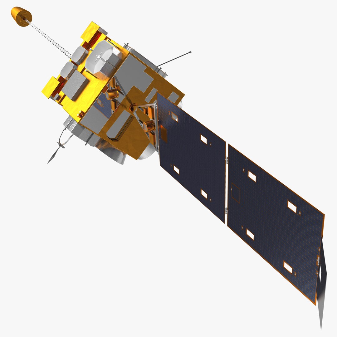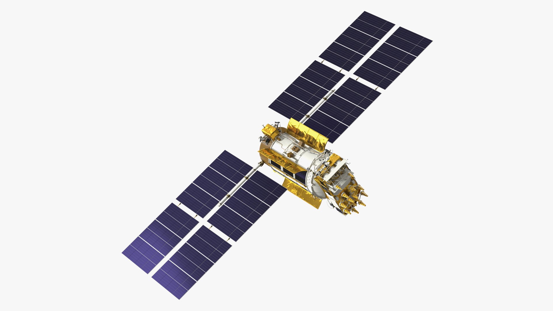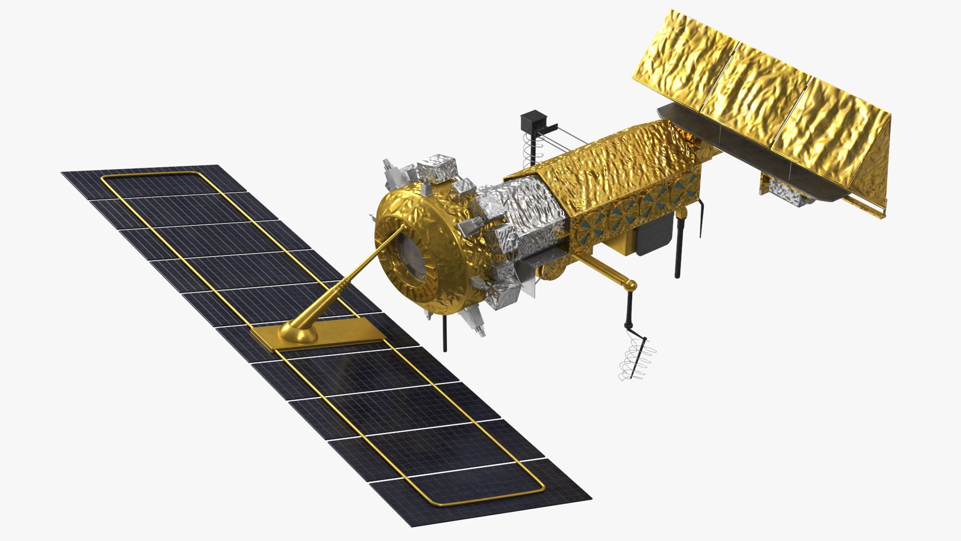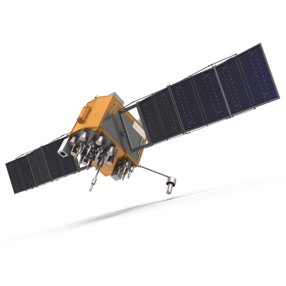
A Navstar Block IIF satellite at 72,381 polygons, with the solar array panels, the antenna farm on the earth-facing deck and the thruster nozzles modelled. Satellites are read by their arrays and their antenna layout; get those wrong and every space engineer in the audience knows within a second.
Three maps at 4096 x 4096 carry the multi-layer insulation, the solar cells and the painted bus. CheckMate Pro certification means real-world scale, which is what lets the satellite be shown correctly against Earth or a launch fairing.
Sold 100 times since 2015, into aerospace presentation, documentary and broadcast graphics, education and simulation. GPS is one of the few satellite programmes a general audience recognises, which is why this specific bird keeps selling.
Questions About This Model
Does the GPS Satellite Navstar Block IIF model include materials and textures?
Material and texture contents are listed per file on the TurboSquid product page. Where textures are included they are packaged with the download rather than linked externally.
What should I search for to find models like the GPS Satellite Navstar Block IIF?
Useful search terms are gps satellite navstar block, download and gps satellite navstar block turbosquid. Browsing the Space & Sci-Fi category shows the closest alternatives at a range of prices.
Which industries use the GPS Satellite Navstar Block IIF model?
Aerospace, Game Development, Film & Video Production and Advertising are the primary industries on this listing, though the Royalty Free license puts no limit on where the model is actually used.
How heavy is the GPS Satellite Navstar Block IIF mesh?
72,381 polygons and 87,448 vertices, built as polygonal quads/tris. Its suitability for real-time use depends on the target platform, scene complexity and the number of instances.